A powerful magnitude 7.7 earthquake struck off the coast of eastern Indonesia early Saturday, August 15, 2026, killing at least 38 people and triggering landslides that have cut off roads and trapped residents in several affected areas. The quake hit the Flores region of East Nusa Tenggara province, an area far from Indonesia’s most visited tourist destinations but still relevant to anyone with travel plans touching the broader archipelago in the days ahead.
This guide covers what’s currently known about the earthquake, where exactly it struck, what it means for travel in and around Indonesia right now, and practical safety information for anyone in the country as rescue efforts continue.
What Happened: Magnitude 7.7 Earthquake Strikes Eastern Indonesia
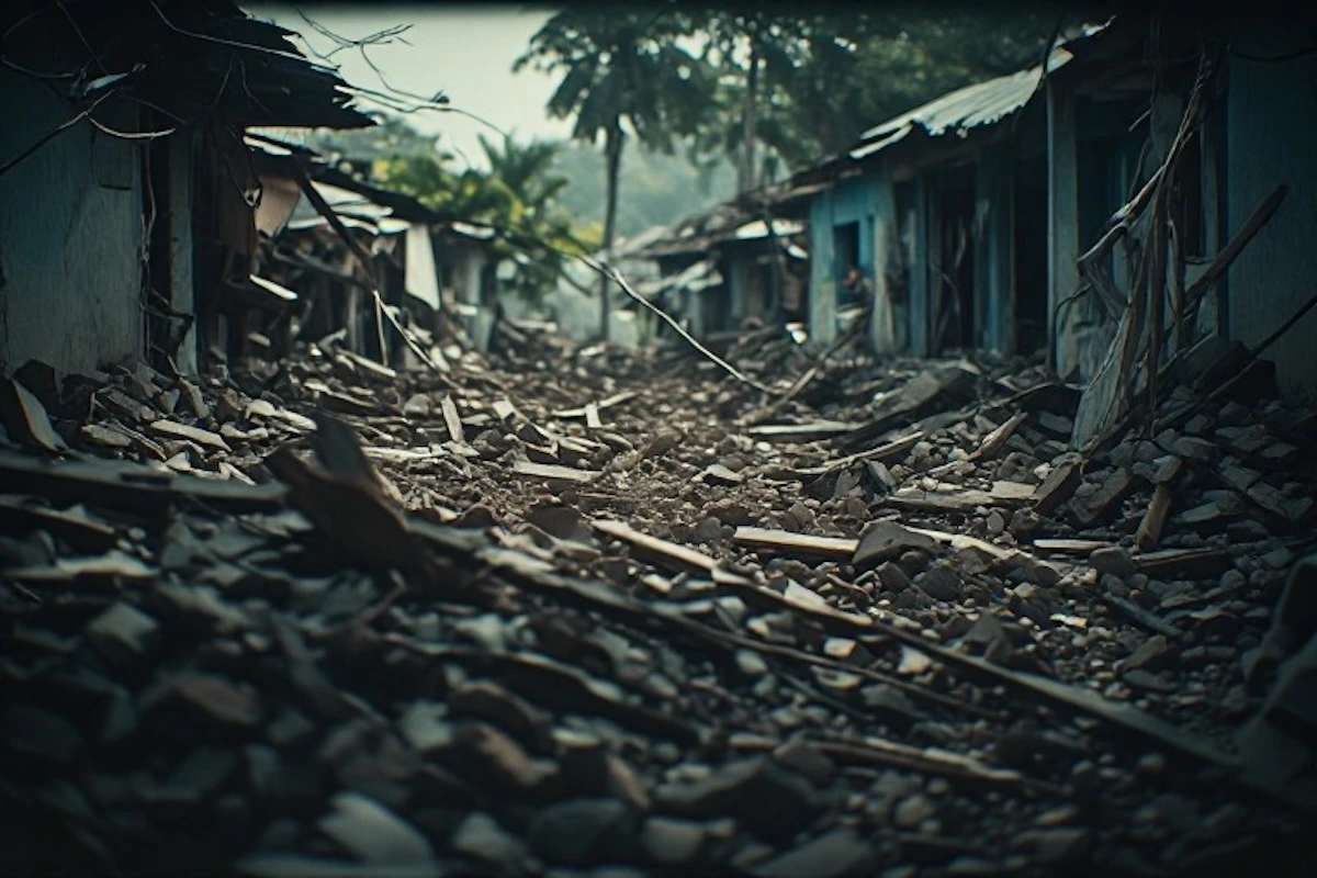
Indonesia’s geophysics agency, BMKG, recorded the earthquake at 4:58 a.m. local time Saturday, at a depth of 15 kilometers, with an epicenter roughly 68 kilometers north-northwest of the city of Ende in East Nusa Tenggara province. Dozens of aftershocks followed the initial quake. According to Suharyanto, head of Indonesia’s National Disaster Management Agency (BNPB), rescuers have recovered at least 38 bodies, with the heaviest losses concentrated in the regencies of Sikka, Manggarai, and East Manggarai — including 16 people killed in a landslide in the village of Reok in Manggarai. At least 13 people have been hospitalized, two with serious injuries.
A tsunami warning was issued immediately following the quake, with waves of less than one meter recorded in several coastal areas before the warning was lifted roughly three hours later. Officials say residents remain trapped in some collapsed buildings, and search and rescue teams are still working to reach the hardest-hit and most remote communities. Our thoughts are with everyone affected by this disaster, and with the rescue teams currently working to reach those still trapped.
Where the Earthquake Struck — And Why It Matters for Travelers
The earthquake hit Flores Island and the surrounding East Nusa Tenggara province, a region distinct from Bali and Indonesia’s more heavily touristed islands, despite some naming overlap that can cause confusion. East Nusa Tenggara sits east of Bali, encompassing Flores, Sumba, Timor, and surrounding islands — a region known for destinations like Komodo National Park and Labuan Bajo, but considerably less trafficked by international tourism than Bali itself. If you have travel plans specifically involving Bali, it’s worth understanding how Bali fits into Indonesia’s broader geography and provincial structure to clarify exactly how far the affected region actually sits from your itinerary.
That said, “far from Bali” doesn’t mean irrelevant to travel planning more broadly. Maumere, the main town in Sikka Regency, and the surrounding affected areas sit along popular overland and ferry routes connecting Flores to Komodo National Park, meaning travelers with itineraries running through eastern Indonesia in the coming weeks should expect disruptions well beyond the immediate disaster zone.
Current Travel Conditions and Access Issues
Landslides triggered by the earthquake have cut off the Trans-Flores highway, a roughly 700-kilometer paved mountain road that runs the length of Flores Island from Labuan Bajo to Larantuka — a route commonly used by travelers moving overland between Komodo National Park and points east. Rescue teams attempting to reach Nagekeo, the region closest to the epicenter, have been blocked by landslides on the road and have resorted to reaching the area by ferry instead, according to local rescue officials. Communications signals in Nagekeo have also been disrupted, complicating both rescue efforts and outside contact with residents there.
Power outages have been reported across parts of the affected regencies, and roughly 2,000 residents in Nagekeo have evacuated to temporary shelters. For anyone with confirmed travel plans through this specific region in the near term, these access disruptions should be treated as an active, evolving situation rather than a fixed set of facts — conditions on the ground are likely to keep changing as rescue and recovery work continues.
Is It Safe to Travel to Indonesia Right Now?
For the vast majority of travelers, yes — Indonesia’s major tourist destinations, including Bali, Jakarta, and Yogyakarta, are located well outside the affected region and have not been directly impacted by this earthquake. Australia’s tsunami warning center specifically confirmed no tsunami threat extended beyond the immediate area, and Indonesia’s own tsunami warning for the region was lifted within hours of the quake.
That said, travelers with itineraries specifically involving Flores, Komodo National Park, or other parts of East Nusa Tenggara in the near term should expect meaningful disruptions to transportation, accommodations, and local infrastructure in the affected regencies, and should check current conditions directly with tour operators, airlines, or accommodations before departure. If your trip touches Jakarta at any point regardless of your final destination, it’s worth keeping standard travel logistics — like navigating Jakarta’s international airport efficiently — in mind as a baseline, since Jakarta itself remains unaffected and continues operating normally as Indonesia’s primary international gateway.
Why Indonesia Is So Earthquake-Prone: The Ring of Fire
Indonesia sits directly on the Pacific Ring of Fire, a horseshoe-shaped zone circling the Pacific Ocean where multiple tectonic plates meet, making it one of the most seismically and volcanically active regions on Earth. This isn’t the first major earthquake to strike this specific area of Flores — a magnitude 7.5 earthquake hit the same region in 1992, triggering a tsunami that killed approximately 2,500 people, a disaster BMKG specifically referenced in its assessment of Saturday’s quake given the geographic overlap.
Indonesia’s broader seismic history includes several other catastrophic events worth understanding for context. A 2018 magnitude 7.5 earthquake near Palu triggered both a localized tsunami and a phenomenon called liquefaction, where shaking turns saturated ground into a dense fluid, destroying entire neighborhoods and killing more than 4,400 people. The 2004 Indian Ocean earthquake and tsunami, triggered by a magnitude 9.1 quake off Sumatra, remains one of the deadliest natural disasters in recorded history, killing roughly 230,000 people across a dozen countries. That history is part of why Indonesia maintains an active tsunami warning system and disaster response infrastructure specifically built around responding quickly to exactly this kind of event — infrastructure that, per Saturday’s reporting, was activated within minutes of the initial quake.
Travel Safety Tips If You’re in Indonesia During an Earthquake
If you’re traveling anywhere in Indonesia and feel an earthquake, standard earthquake safety guidance applies regardless of location: drop to the ground, take cover under sturdy furniture if available, and hold on until the shaking stops, staying away from windows and heavy objects that could fall. If you’re near a coastline when a strong or prolonged earthquake occurs, move to higher ground immediately rather than waiting for an official tsunami warning, since the shaking itself can be the most immediate available signal in a coastal area close to the epicenter.
For accommodations booked in seismically active regions, it’s worth taking a moment upon arrival to identify the nearest emergency exits and, where available, posted evacuation routes — a habit worth building into any stay in Indonesia generally, given the country’s overall seismic activity, not just in direct response to this specific event. Coordinated disaster response, of the kind currently underway in East Nusa Tenggara, typically follows structured protocols designed to organize multiple agencies and resources efficiently during exactly this kind of emergency — the same underlying principles behind how multi-agency emergency response systems are structured to coordinate effectively during a crisis, which is worth understanding generally for anyone curious about how large-scale disaster response actually gets coordinated on the ground.
How to Check on Loved Ones or Get Updates
If you have friends, family, or travel companions in the affected region of eastern Indonesia, be aware that communications disruptions have already been reported in some of the hardest-hit areas, particularly Nagekeo, meaning delayed contact doesn’t necessarily indicate the worst outcome. Checking with your home country’s embassy or consulate in Jakarta is a reasonable first step if you’re unable to reach someone directly, since embassies typically maintain updated guidance and can assist with locating citizens during a declared disaster. Following updates directly from Indonesia’s BNPB and reputable international wire services (Reuters, AP, and NPR have all provided consistent, verified reporting on this event) is generally more reliable than relying on unverified social media reports during the early, fast-moving hours and days following a disaster like this one.
What to Do If Your Trip Is Affected
If you have upcoming travel plans through Flores, Komodo National Park, or other parts of East Nusa Tenggara, contact your airline, tour operator, or accommodations directly to confirm current status rather than assuming normal operations. Many tour operators serving this region maintain established protocols for rescheduling or adjusting itineraries following a natural disaster, and travel insurance policies vary considerably in how they handle disruptions caused by natural disasters, making it worth reviewing your specific policy’s terms if your trip is affected. For travelers whose itineraries only pass through unaffected regions like Bali or Jakarta, standard travel planning can generally proceed as normal, though it’s always worth building a small amount of flexibility into any Indonesia itinerary given the country’s overall seismic activity.
Frequently Asked Questions
Is Bali affected by the Indonesia earthquake?
No. The magnitude 7.7 earthquake struck Flores Island and East Nusa Tenggara province, a region distinct from and located east of Bali. Bali’s tourism infrastructure has not been directly affected by this earthquake.
How many people died in the Indonesia earthquake?
As of this writing, at least 38 people have died, according to Indonesia’s National Disaster Management Agency. Officials say the death toll may continue to rise as rescue teams reach areas still cut off by landslides and communications disruptions.
Where exactly did the earthquake strike?
The earthquake’s epicenter was located roughly 68 kilometers north-northwest of Ende, in East Nusa Tenggara province, at a depth of 15 kilometers. The hardest-hit areas include the regencies of Sikka, Manggarai, East Manggarai, and Nagekeo on Flores Island.
Is it safe to travel to Indonesia right now?
For most destinations, yes. Major tourist areas including Bali, Jakarta, and Yogyakarta are located well outside the affected region. Travelers with plans specifically involving Flores or East Nusa Tenggara should check current conditions directly with airlines, tour operators, or accommodations before departure.
Was there a tsunami after the earthquake?
A tsunami warning was issued and waves of less than one meter were recorded in several coastal areas. The warning was lifted approximately three hours after the earthquake, and Australia’s tsunami warning center confirmed no broader regional tsunami threat.
Why does Indonesia experience so many earthquakes?
Indonesia sits on the Pacific Ring of Fire, a highly active seismic zone where multiple tectonic plates meet. The same region of Flores was struck by a comparable magnitude 7.5 earthquake in 1992, which triggered a tsunami that killed approximately 2,500 people.